
The Department of Social Welfare and Development (DSWD) was recently recognized by the National Mapping and Resource Information Authority (NAMRIA) for being the first government agency to contribute its Geographic Information Systems (GIS) maps to the latter’s geoportal.
This recognition was given during the Philippine Environmental Systems Research Institute (ESRI) GIS Conference, held recently at the EDSA Shangri-La.
The conference gathered users of ESRI, the leading GIS software brand headquartered in Redlands, California. The attendees included corporations, government agencies, and members of the academe.
Mapping to improve monitoring system
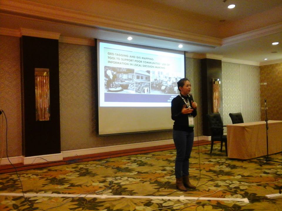
During that same conference, the Kapit-bisig Laban sa Kahirapan-Comprehensive and Integrated Delivery of Social Service-National Community-Driven Development Program (KALAHI CIDSS-NCDDP), one of the poverty alleviation strategies of DSWD, presented how it uses geo-tagging and GIS mapping to improve its monitoring system of its sub-projects.
KALAHI CIDSS-NCDDP is the expansion into a national scale of operations of the community-driven development (CDD) approach, which was tried and proven effective by Kalahi-CIDSS. It targets the coverage of 847 of the poorest municipalities in the country.
As a CDD program, KALAHI CIDSS-NCDDP gives citizens control over decisions and resources to enable them to develop solutions to their community’s pressing problems, particularly those that are poverty-related. In most instances, these come in the form of small-scale infrastructure, such as pathways, bridges, school buildings, health stations, soil erosion or flood control sub-projects, and community production facilities like solar driers.
According to Pamela Clavio-Galenzoga, the KALAHI CIDSS-NCDDP GIS Specialist, geo-tagging the sub-projects will allow program implementers, which include the DSWD and its partner government agencies, local government units, and the community residents themselves, to closely monitor the status of their sub-projects.
First government agency
NAMRIA thanked DSWD for being the first government agency to submit its data, and encouraged the other agencies to follow the DSWD’s lead in being open about data sharing.
DSWD Secretary Corazon Juliano-Soliman acknowledged the recognition of NAMRIA, adding that DSWD’s geo-tagging mechanism was initiated to serve as a mechanism to strengthen the capacity of poor and vulnerable communities, which are what the program covers.
She also said that the submission of the GIS data sets and other geographic information to NAMRIA will also link with the Philippine Statistics Authority, which can then support the convergence of anti-poverty initiatives of the national government, as the information will be made available to other agencies. By making the data open, the gaps in development interventions can be identified and duly addressed.
“Through data and information sharing, we will be able to develop programs and policies that will best respond to the needs of Filipinos, especially those who are affected by and vulnerable to poverty,” Sec. Soliman said.
Sec. Soliman said that making the data available is also a way for KALAHI CIDSS-NCDDP to tighten its transparency and accountability mechanisms, adding that she hopes that the geo-tagging and GIS mapping technology can be used to further empower the citizenry by making them more aware of and involved in the development of their villages.
“We hope to make this technology accessible to barangays to empower them to take part in inclusive, sustainable, and community-driven development,” she said.###